LANDSCOPE: feasibility analysis for real estate decisions

Before buying, selling or developing a property there is one decisive question: what can actually be built there? LANDSCOPE is the studio’s planning analysis service that answers that question with data — at three levels, from 48 hours — before any contract is signed.
1. The problem LANDSCOPE solves
Most bad property deals do not come from the price, but from missing information. A plot in the REN, an easement that cuts the footprint, an index that does not allow the intended number of units, a risk strip that prevents reconstruction. When these facts become known only after the deed, they stop being useful information and become a loss.
LANDSCOPE reverses the order: first the technical reading, then the decision. We gather the PDM framework, the legal and territorial constraints, the building potential and the risks into a clear report, designed for decision-making.
2. Three levels, one goal: deciding safely
| Level | Timeframe | What it includes |
|---|---|---|
| Base | 48 hours | Objective reading: PDM framework, main constraints and a clear feasibility indicator — the essentials for a first decision |
| Standard | 3 working days | Detailed reading: REN, RAN and easements; indices and building potential; procedural framework, risks and value opportunities |
| Premium | On request | Everything in Standard + a volumetric study of a possible structure to develop — the asset’s potential made visible; timeframe according to the project’s size and complexity |

The planning reading sees what the listing does not show.
BASE
48 hours · objective reading
BASE · 48 H
PDM framework, constraints and feasibility indicator
STANDARD · 3 DAYS
REN, RAN and easements · indices and potential · risks
PREMIUM · ON REQUEST
+ volumetric study of the possible structure
each level contains the previous one
Three depths of analysis — from the quick indicator to the drawn volume; each level contains the previous one.
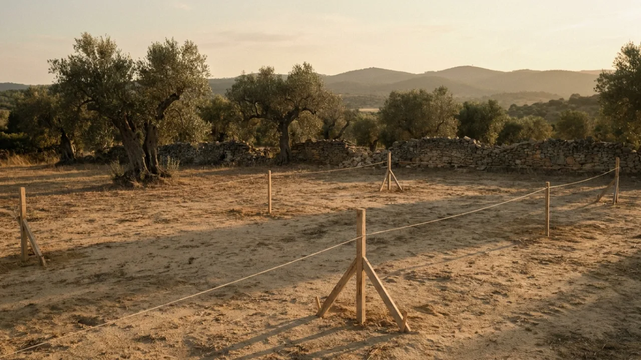
3. A real case: the plot that (wisely) was not bought
An investor had a promissory contract on a coastal property with a ruin, to rebuild as housing. The analysis revealed what the listing did not say: the property sat entirely within the National Ecological Reserve (REN), inside a cliff safeguard strip, in a fire hazard zone — and with no frontage onto a public road. The prior information request confirmed the reading: unviable.
The result: the feasibility clause was triggered and the purchase did not go ahead. The cost of the analysis was a tiny fraction of the loss avoided.
“In a property investment, the analysis that most protects the capital is the one that identifies a bad deal before the deed.”
Tiago R. Correia
Architect
4. How it works
1. Send us the data — the property tax document (caderneta predial) and the location (the land registry certificate, if available, helps). 2. We analyse — PDM and regulations, constraints, indices, risks; at the Premium level, we also develop the volumetric study. 3. You receive the report and a guided reading — a clear document and a meeting to answer your questions and define the next step.
5. What you receive
- Framework under the PDM and the applicable regulations;
- Legal and territorial constraints — REN, RAN, easements, protection and risk zones;
- A reasoned calculation of the building potential;
- Identification of risks, limitations and value opportunities;
- A clear recommendation: proceed, renegotiate or walk away — and why.
At the Premium level, the volumetric study adds the piece missing from almost every decision: seeing the envelope. Possible footprint, number of floors, gross areas per use — the PDM indices turned into drawn square metres. It is the difference between knowing that “it can be built” and being able to show a bank, a partner or a buyer exactly what.
Buying land? Also read the 10 steps to check before buying a plot — and the 2026 permitting guide.
Frequently asked questions
What documents do I need to send?
In most cases, the property tax document (caderneta predial) and the exact location of the plot are enough. The land registry certificate, when available, enriches the analysis.
Is LANDSCOPE also useful for selling?
Yes — a property with demonstrated planning potential sells better. The report turns «I think it can be built» into a technical argument with numbers.
I have already signed a promissory contract (CPCV). Is it still worth it?
It is — especially if the contract includes a feasibility clause or a prior verification period. That is exactly what saved the investor in the case above.
How much does it cost?
It depends on the level and the size of the asset. Send us the data and we return a fixed proposal, with no commitment.
Tell us where the plot is. We tell you what can rise there.
Send the property document and the location — and receive an independent technical analysis, from 48 hours.
-
No tags found